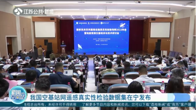
The multi-spectral and cross platform remote sensing authenticity inspection dataset of China's space-based ground observation station network was released in Nanjing on Tuesday, marking the overall formation of the national level authenticity inspection network operation service system. The event was held at the 2023 Annual Meeting of National Civil Space Infrastructure Authenticity Testing Field Network held in Nanjing Information Engineering University.
Remote sensing authenticity testing is an important way to evaluate the quality of remote sensing products, and is a key technical link in converting remote sensing data to remote sensing information, making it of great significance for improving the quantitative level of Earth observation technology.
“Previously, for remote sensing, it was more like looking at pictures, but after our new satellites were launched, our multispectral, hyperspectral, infrared, microwave, and electromagnetic capabilities actually helped us extract more diverse surface information”, Zhou Xiang, Executive Deputy Director of National Engineering Research Center for Remote Sensing Satellite Applications, said.
The dataset released this time includes the annual time series inspection dataset of space-based optical satellites, the inspection dataset of space-based synthetic aperture radar satellites, and the multi cycle inspection dataset of the Sanjiang Plain Carbon Source and Sink Comprehensive Experimental Site.
These datasets known for their being high standards, wide range, and high accuracy will play a greater role in major national fields such as natural resources, ecological environment, agriculture and rural areas, and disaster prevention and reduction in the future.
“For example, the multi cycle inspection dataset of the comprehensive experiment on carbon sources and sinks in the Sanjiang Plain provides strong data support for the construction of a precise spatiotemporal and multi element three-dimensional monitoring technology system for black land in China, as well as the implementation technology and classification development model research of modern agriculture zoning”, Wu Yirong, CAS Member, President of the Aerospace Academy, said.
“The data we released this time will enable everyone to test their algorithms and products, providing a large number of high-quality samples for remote sensing applications. With the promotion of the Nanjing Real Inspection Station, it will also provide strong support for the development of remote sensing applications in Jiangsu”, Gu Xingfa, Director of the National Engineering Research Center for Remote Sensing Satellite Applications, said.